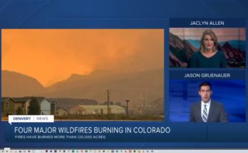
This entire article from the Denver Business Journal is worth a read:
This year, the Center of Excellence debuted the Android Team Awareness Kit (ATAK), a geospatial mapping engine that facilitates situational awareness, navigation and data sharing among firefighters.

As most fires occur miles away from reliable internet access, ATAK provides emergency personnel with smartphones and antennas to create a mesh network.
This allows firefighters to access a common map that displays areas of interest, like the location of the trucks, pump and hose supplies that had been dropped off by another crew, and the crew lookout.
“Firefighters can share maps. They can put an icon that says we’re going to have lunch here,” Miller said.
In an expanded use of ATAK, Miller said the Center of Excellence has integrated the technology with drone cameras to share birds-eye view data with firefighters on the ground. The drone operator can relay information to firefighters, and they can review the drone’s positioning using ATAK.


